


Fire Brigade Hill
47°28'28.3"N 8°31'56.4"E
47.474532, 8.532343
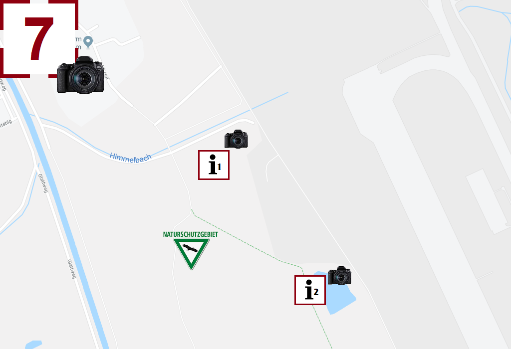
At the slope head of RWY 16 is the "Fire Brigade Hill". This photo position was given the name "Fire Hill" because until 2014 one had a great view of the former Air Afrique DC-8 TU-TCP, which served as a training aircraft for the airport fire brigade. These photo points can be reached from Oberglatt (photo point 8) on foot in about 20 minutes (walking along the fence).
Attention: These photo points are located in the middle of a nature reserve. Please do not leave predetermined paths.
From the photo points at the fire brigade hill you can take pictures as follows:
- Take off on RWY 16 (300- 400mm lens required)
- Landings on RWY 14 (300- 400mm lens required)
- Take off on RWY 32 (east approach concept)
- Take off on RWY 34 (east approach concept)
Notes for Spotters:
- This photo point is suitable from approx. 12:30 PM, before there is backlight.
- Photographing at point i1 is possible without a ladder
- A ladder is required to take pictures at point i2.
- Catering are not available.
- Parking is not available. (Parking at photo point 8)